Showing posts with label Mays Wood. Show all posts

Sunday, 11 December 2022

Church Hill...

 A foggy, frosty day for a Sunday stroll...

Mays Wood...

Mays Wood...

Church Hill path...

Kicky, Bitey and their offspring..

The beacon...

Frozen cobweb on the WW2 memorial plaque...

St. Michaels...

St. Michaels...

St, Michaels churchyard...

Whornes Place...


Tuesday, 6 December 2022

Church Hill to Lower Bush...

 A short walk in the winter sunshine...

Baker's Field, looking towards the Medway Bridge...

Church Hill, looking south...

Church Hill, looking north towards Cuxton...

Mays Wood...

Mays Wood...

Dean Farm...

Barrow Hill, looking west...

The picture above was taken from the top of the fly-tipped flint pile that Vineyard Farms have seen fit to dump up there. It marks the spot where their £30m concrete cow-pat is almost inevitably going to be built. Although neglected and weed-strewn (like most of Vineyard Farms' land not lost to vines) the view is still spectacular, so enjoy it before it is taken away from us for ever...

Barrow Hill - dumped plastic vine protectors...

It seems to be a feature of privately owned land across Cuxton that the more zealously its ownership is policed, the less cherished it seems to be by its owners, who often just treat their property as a rubbish tip. It seems that some of the 60-odd tonnes of plastic net sheathing used to protect the fledgling vines has now served its purpose and has thus been collected and dumped in an ugly pile at the bottom of Barrow Hill, just like the soil and spoil that litter the "Silverhand Estate" as a result of other Vineyard Farms activities. One assumes that the plastic waste will eventually be taken away for disposal before too much of it blows away.  

Or perhaps they are just going to burn it all...

Brickhouse Cottages, Lower Bush...

Unsightly though the Vineyard Farms policy of letting the hundreds of acres of land not covered in vines "lie fallow" under their "care", it is (unintentionally, I suspect) a bonanza for wildlife. The weed-strewn vistas at Lower Bush were home to linnets (which I haven't seen for a while), goldfinches and a few shy Blackcaps when I walked by them this morning.

Sunday, 15 May 2022

Wild Garlic (Ramsons), Mays Wood...


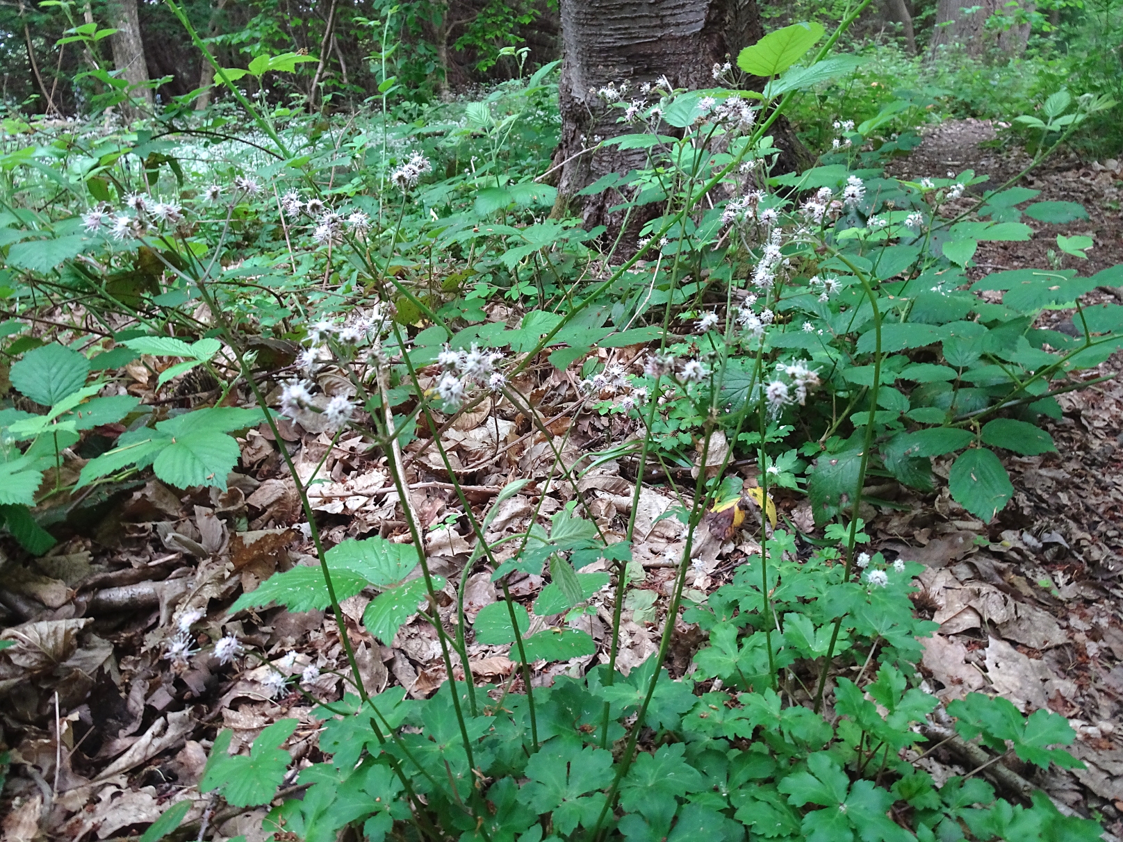
Sanicle...

Not all of the blizzard of white flowers in Mays Wood is down to the wild garlic. More than a casual glance will show that there is a large patch of woodruff lying on the left of the main path as you head westwards...

Woodruff, close-up...

Woodruff...


Sunday, 24 April 2022

Boundary stones and buttercups...

Southern Bush Valley parish boundary stones...

Today I decided to try and trace the line of concrete parish boundary markers that the 1907 OS map revision suggests run from North Wood westwards down to the bottom of Bush Valley...

Marker stone locations superimposed on an aerial map of southern Bush valley.  The circled ones are those I found...

The map suggested that there was a stone right by the path that runs through North Wood (on the right of the above map) but I could not find it.  In his book, Cuxton - A Kentish Village, author Derek Church describes being able to track westwards down the hill, following the line of markers.  I tried this but hit an impenetrable barrier of scrub and brambles, so I scrambled back up the hill, returning to the path through North Wood.  This comes out by the overhead power cables, and it is possible to follow the clearing under the pylons down to the bottom of Bush Valley.  

Boundary post example...

Heading east up the slope between the field fence and the old pheasant pen, a row of five boundary markers can be found, although the fifth one behind the old pheasant look-out is pretty well hidden in the scrub beneath an old yew tree.  

Boundary post...

I did take a picture of each of them but they are all similar in appearance so I haven't posted them all here. Superficially these stones seem similar in design to the Hilton and Anderson quarry markers, two of which can be found further up the valley above White Pit.  They are smaller, however, and lack the full stop between the H and the A, which the White Pit stones have. Some people believe that the "HA" on these stones also stands for Hilton and Anderson, but personally I think it just stands for HAlling... 

I tried to find the sixth one but once again the brambles made the quest difficult.  I have no doubt it is hiding in there somewhere.  

Panorama of Bush Valley from the eastern path...

I took the path that tracks along the eastern edge of Bush Valley back to Upper Bush. The above panorama shows the rather blasted look of the valley at the moment, courtesy of Vineyard Farms...

Borrow Hill...


After stopping in the White Hart for refreshment, I made my way up Church Hill into Mays Wood via St. Michaels...

St. Michaels graveyard...

St. Michaels...

Buttercups at St. Michaels...

Daisies and buttercups...

The buttercups were also on show at Church Hill...

Looking down the hill...

View south over the Medway valley...

Cuxton from Church Hill...

The Medway bridge from the top of Church Hill...

Although not as showy as their counterparts further up in Wingate Wood, the bluebells in Mays Wood have nevertheless put on a good show this year...

Bluebells, Mays Wood...

Purple anenomes, Mays Wood...


Wednesday, 6 April 2022

Anenomes in Mays Wood...

A good show of anenomes in Mays Wood this spring...


Tuesday, 11 May 2021

Wildflowers in Mays Wood...

Woodruff..

...as above...

Ramsons (Wild Garlic) and Bluebells...

Ramsons..

Unfortunately I have seen idiots digging these up, expecting to find garlic bulbs as if they were in a branch of Tesco. Digging up any wild plant is, of course, illegal under the Wildlife and Countryside Act 1981, but pointing out the folly of some "foragers" only gets you a volley of self-entitled, child-like abuse these days...