|
| A volunteer (not me) marking a parish boundary tree in Little Red Wood |
This Sunday, I tagged along with some twenty-odd other individuals comprising of Cuxton Parish council committee members, councillors and some other interested folk for a "perambulation" of the Cuxton Parish boundary.
These days, Cuxton's beating-of-the-bounds is currently undertaken every three years or so by members of the local Parish Council and its supporters. The passage of time changes many things and indeed, the historic ecclesiastical connotations of the 2018 event seemed little in evidence, with this year's triennial perambulation starting from the car park of the White Hart on a damp Sunday morning in October, rather than during the Rogation week of May.
Whilst the modern parish boundary is well-indicated on today's Ordnance Survey maps, paths and land use and ownership have greatly changed the ability to physically get to it.
 |
| Cuxton Parish boundary (2015 OS boundary marked in blue, perambulation route marked in red) |
Indeed, its south-east portion actually runs along the middle of the River Medway, somewhat hindering any form of access (although Mr.Church does give an account of his doing so in 1966 by means of a canoe!).
Starting from the White Hart, we made our way across the railway crossing and took the alley running to the railway underpass, this path being the nearest practical one closest to the river "boundary". From there, we walked behind Factory Cottages up to the motorway bridge, then along a track across a smallholding, through the gate (kindly left open for us by arrangement with the landowner) and on to Sundridge Hill, adjacent to the Cuxton village sign.

From there, we crossed the road into Ranscombe Farm reserve and took the track up through Meralls Shaw close to the M2. The OS map shows the boundary as running on the other side of the M2 motorway, but is is neither safe nor practical to get to it. From there, the path runs next to the fence safeguarding the Channel Tunnel rail track, on the eastern side of Magpie Shaw.
Derek Church references an account of a perambulation in 1796, which records some 55 parish boundary markers. Two oaks and an ash tree were listed as markers on the edge of Magpie Shaw, but trees do not make for enduring sentinels. Old age, thoughtless axes, disease (Dutch Elm and now Ash die-back) and the weather (and in particular, the storm of 1987) has seen the loss of countless trees in the area, and no trace of any markers were seen until we turned west from the railway down the path running along the northern edge of Stogarts and Drapers Wood.
 |
| Marker tree, Stogards and Drapers Wood |
This was a recent example, bearing a record of 21st. century boundary walks and which was duly etched with this year's record. The woods were just starting to show their autumnal colours.
 |
| Woodland track between Stodarts and Drapers and Broad Oak Woods |
The track continued on into Birch Wood where a decrepit chestnut tree could still be found, very likely the one that was noted in the 1796 perambulation referenced by Derek Church.
 |
| Ancient chestnut tree, Birch Wood |
A younger example of a boundary tree was found nearby.
 |
| Boundary beech tree, Birch Wood |
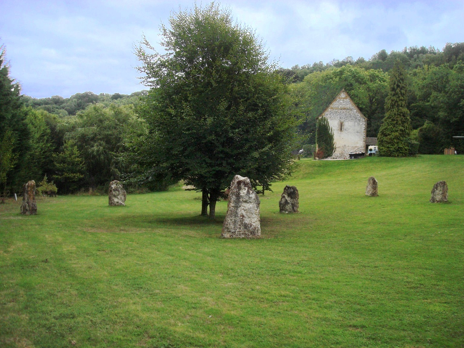
We followed the track down to the Mausoleum, that wonderful but somewhat neglected folly that never got to be the last resting place of the local lords of Darnleys as its instigators intended.
 |
| Darnley mausoleum |
From there, we dropped down through Norword Grove and took the path down to the railway underpass that led to Warren House. The Parish Council had thoughtfully arranged for a couple of volunteers to set up a table or two with tea and biscuits there, which were most gratefully consumed in the onset of a chilly drizzle.
Sticking close to the parish boundary, the group crossed the road and walked across the field to the edge of Red Wood. We tracked up the hill on the woodland edge, then took the track into Little Red Wood, where another marker tree was found and dated accordingly (see first photo above). Here, one of the younger (and lighter) members of the team gamely volunteered herself to be "bumped" against the marker tree, in keeping with the rather strange tradition as mentioned above.
Available woodland paths then led us slightly westwards from the parish boundary into Luddesdown and along the edge of Wrenches Shaw down to Bushy Wood, where we picked up public footpath NS 214.
This took us down the valley through Halling Wood, slightly south of the parish boundary which runs along the bottom edge of Bush Valley field. The OS maps indicate that some boundary marker stones are present there, and after a brief hack through the undergrowth we found a couple, marked with HA (for HAlling?), which are doubtless the same posts mentioned by Derek Church in his account of a walk in 1971.
 |
| Boundary stone, Halling Wood |
After a hard slog up the steep side of the valley through Bavins Shaw to the northern tip of Stonyfield Wood, we were some way south of the actual parish boundary, but private land ownership and a lack of available paths dictated a pragmatic approach. We took the path up through North Wood, which crossed the parish boundary again and took us north-east to Millgate Spring. Here, we picked up a path that led south across the valley behind Dean Farm, and up onto the main path through Mays Wood, just above the Warren. The paths runs slightly north of the parish boundary, which dips down through Bores Hole, across the road to Whornes Place and then down to the river.
Derek Church mentions some marker trees on the accessible northern boundary of Bores Hole, but by the time we got close by, the rain and autumn leaves had made the track too slippery for a safe ascent. We therefore decided to retreat down Church Hill and adjourn to the White Hart for a well-earned drink and (for some) a late Sunday lunch.
I intend to retrace this circuit at some point in the future, as I am sure that many of the markers mentioned in Mr. Church's account still exist, and it would be good to record precise locations of them.