 |
| Ramsons (Wild Garlic) - Mays Wood... |
I set out with the intention of tracking down the rest of the parish marker boundary stones that follow the old fence line at the bottom of Bush valley, this time on the western side. I did get rather side-tracked by the wild flowers along the way...
 |
| Ramsons (Wild Garlic) - May Wood... |
 |
| Bluebells - Wingate Wood... |
 |
| Bluebells - Wingate Wood... |
 |
| Bluebells - Wingate Wood... |
 |
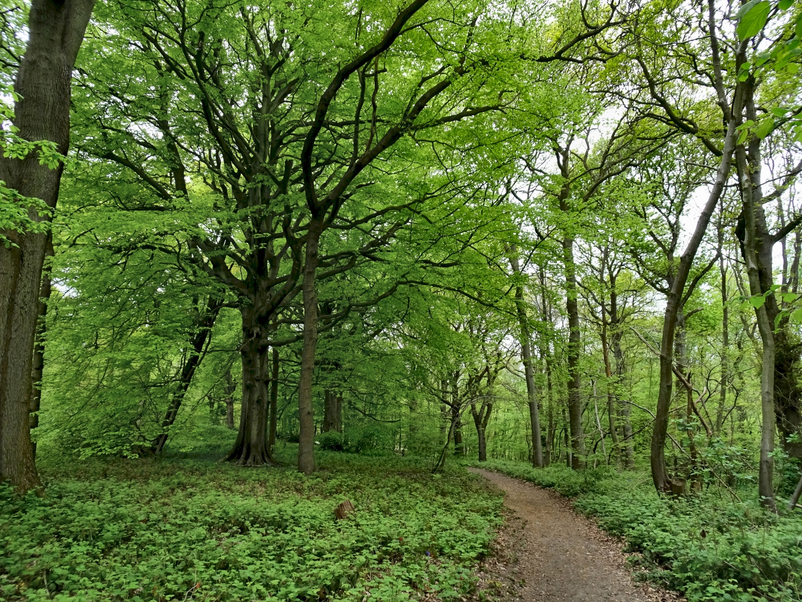
| Oaks and Hornbeams, Wingate Wood... |
Turning right off of the North Downs way at Stony Field leads down to the bottom of Bush valley...
 |
| OS Map (1907 revision) showing southern Bush Valley parish boundary marker stones... |
The 1907 map shows nine marker stones that run up the western slope from the gate at the bottom of Bush Valley, following the parish boundary up to the NS214 footpath in Bushy Wood. The early 1869 map did not indicate any marker stones and I suspect they were put in at the turn of the century. The map also shows that the land to the south of Bush valley was once open fields. However, the 1936 OS map shows this had begun to revert to the woodlands we see today...
 |
| Marker stone locations superimposed on aerial map of southern Bush Valley... |
I could not find the marker stone by the farm gate (the one on the extreme right of the above map) and I suspect it got grubbed up when the gate was put in. The first four up the hill to the west were fairly easily found just inside the fence line (and on the above map, I have circled the stones I actually managed to find), but as I worked my way up the hill it became more and more overgrown with brambles...
 |
| Example of boundary marker stone... |
Superficially these stones seem similar in design to the Hilton and Anderson quarry markers,
two of which can be found further up the valley above White Pit. They are smaller, however, and lack the full stop between the H and the A, which the White Pit stones have. Some people believe that the "HA" on these stones also stands for Hilton and Anderson, but personally I think it just stands for HAlling...
 |
| Example of parish boundary marker stone... |
I tried to head westwards up the slope from the last boundary stone, but the brambles forced me to take a more southerly route up to the NS 214. That did allow me to find a rather large and spectacular group of Early Purple orchids amongst the Bushy Wood bluebells, however...
 |
| Early Purple orchids and bluebells, Bushy Wood... |
 |
| Early Purple orchid and bluebells, Bushy Wood... |
 |
| Bushy Wood parish boundary marker stone... |
The map suggested the presence of a boundary stone right by the NS 214 path but I could not find it, although it may well still be hiding in the dense undergrowth. However, I tracked back north off of the NS 214 and succeeded in finding one of the four stones that are supposedly in the Bushy wood area. I am sure the others are still there and I will try and find them at some point...
 |
| Woodruff, Bushy Wood... |
 |
| Bush Valley, north from the edge of Bushy Wood... |
 |
| Bush Valley - the Vineyard Farms makeover... |
Coming out of Bushy Wood, I took the track that runs down the western side of Bush Valley towards Upper Bush. The activities of Vineyard Farms in support of their precious vines have left the valley looking sterile and desolate, more like a chalk quarry than farmland..
 |
| Wall butterfly, Burrow Hill... |
At the bottom of the valley, Borrow Hill has been left alone for the moment. Indeed, a few skylarks had returned and I was also amazed to see of couple of Wall butterflies, one being kind enough to stay still long enough for me to take its picture above. I haven't seen one of these for many years. Once common, the population of these little beauties has crashed disastrously in the past 30 years and they now tend to be found only on coastal grassland areas. Unfortunately, Vineyard Farms plan to obliterate Borrow Hill to build their stupid, vainglorious winery, so it'll soon be goodbye to Wall butterflies and skylarks...
 |
| Star of Bethlehem, Upper Bush... |


No comments:
Post a Comment